Jersey Geology Trail |
||
Dykes. |
||
 |
 |
|
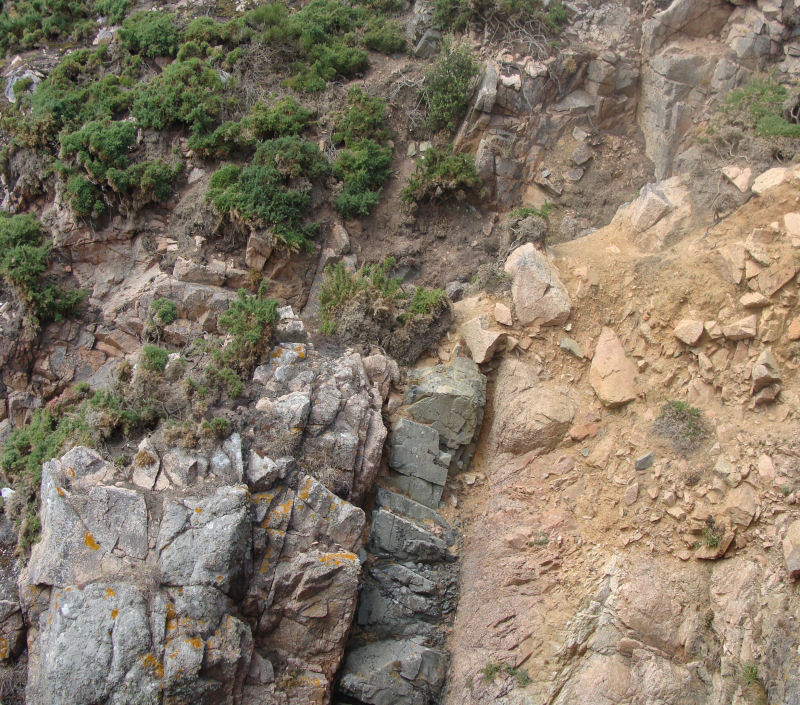
Part of dolerite dyke swarm, Le Hocq. |
Dolerite dyke, joint controlled, Ouaisné. |
|
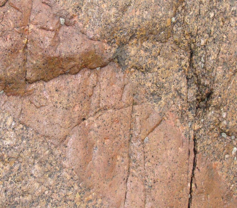
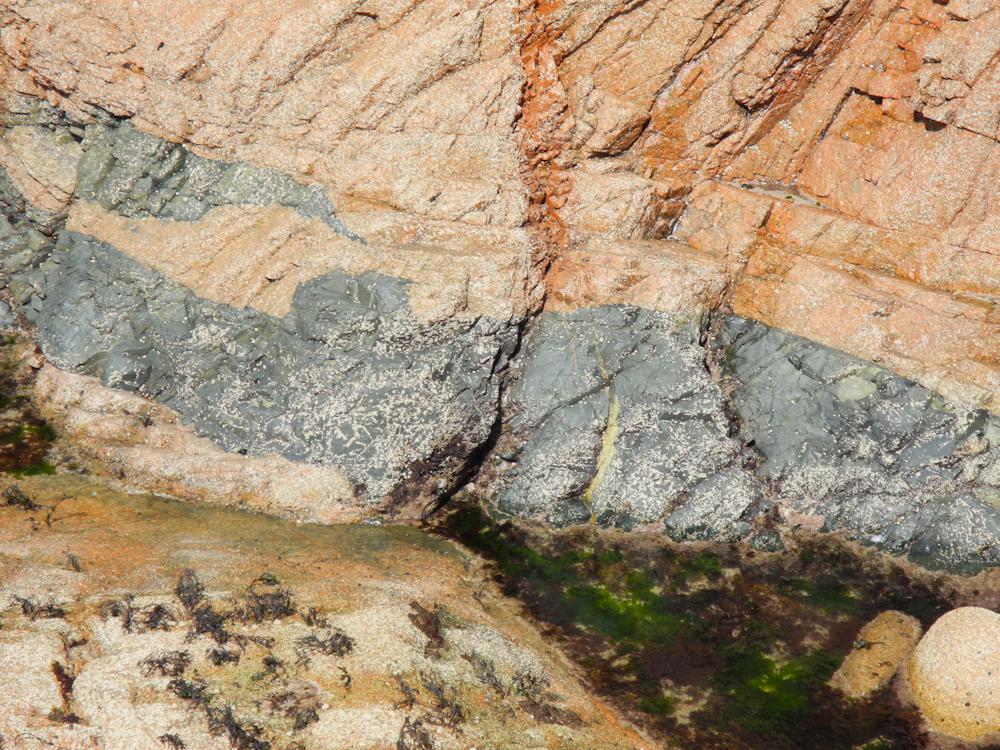
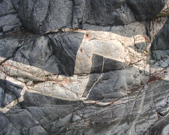
Dykes are discordant or cross-cutting, wall-like, minor intrusive structures which vary in thickness. They are generally vertical or nearly so having been intruded from below along joint or fault planes to form dilation structures. They may occur singly, in sets or in swarms. The ones under discussion are composed of various types of igneous rock; no sedimentary ones have been recorded. |
||
 |
||
Dolerite dyke in banded diorites, La Motte shore. |
||
 |
 |
|
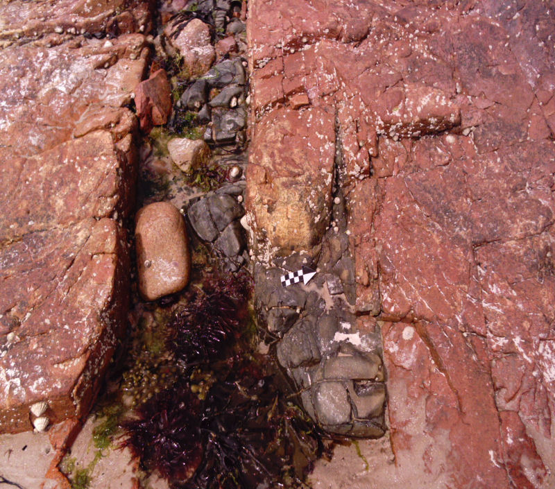
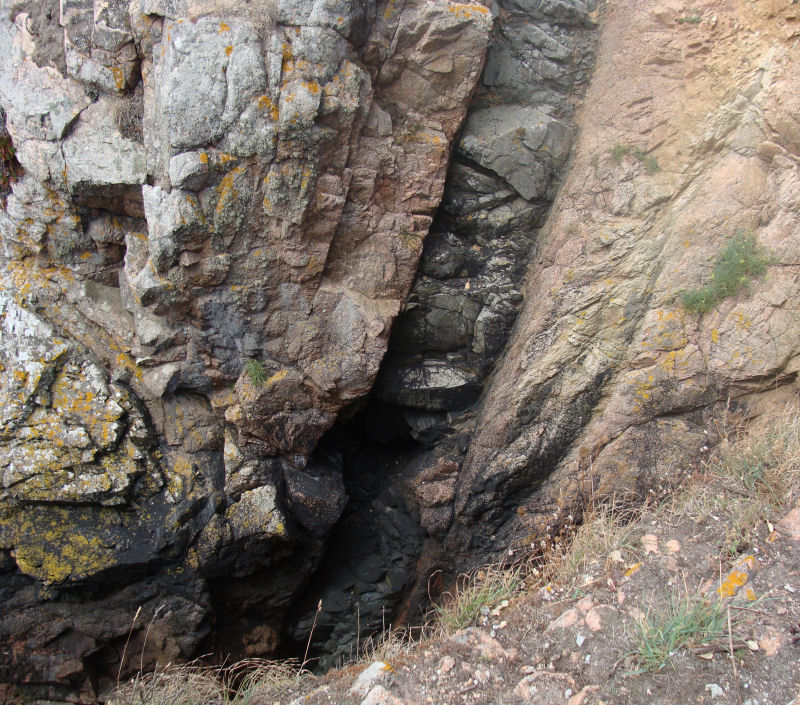
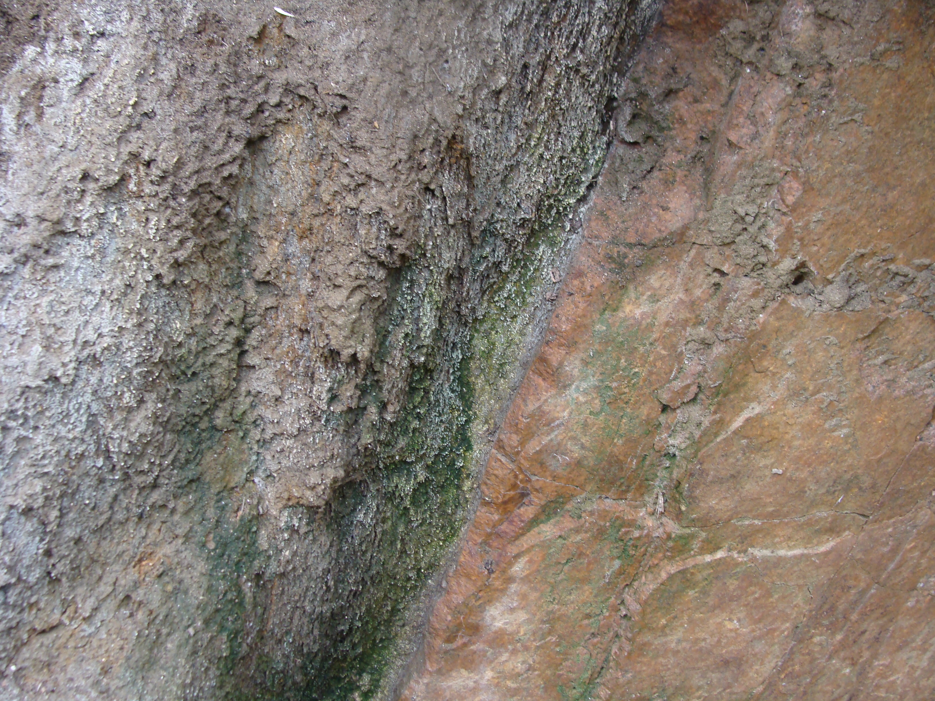
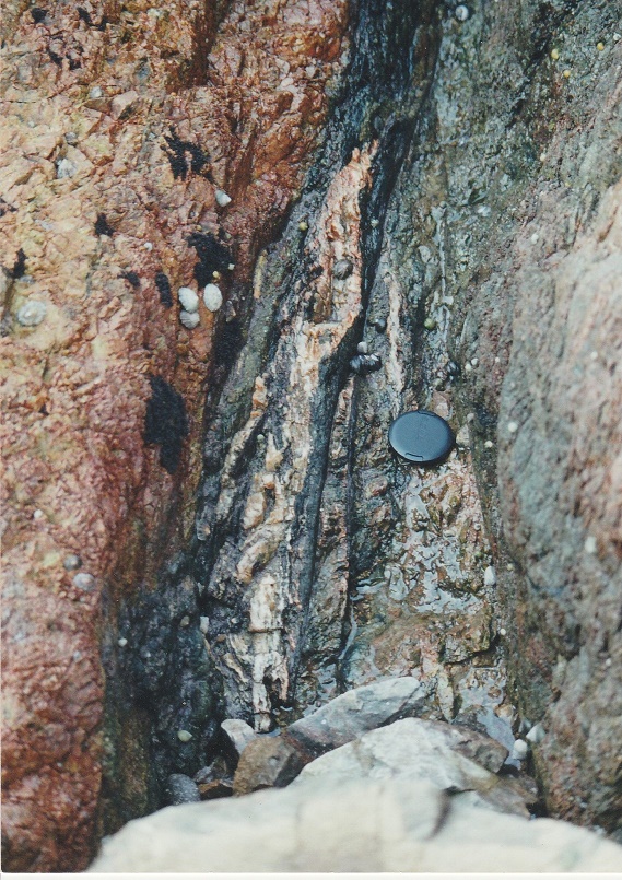
Vein in dilated joint (x2). Ouaisné. |
Dyke wall offset, following joint? Le Dicq. |
|
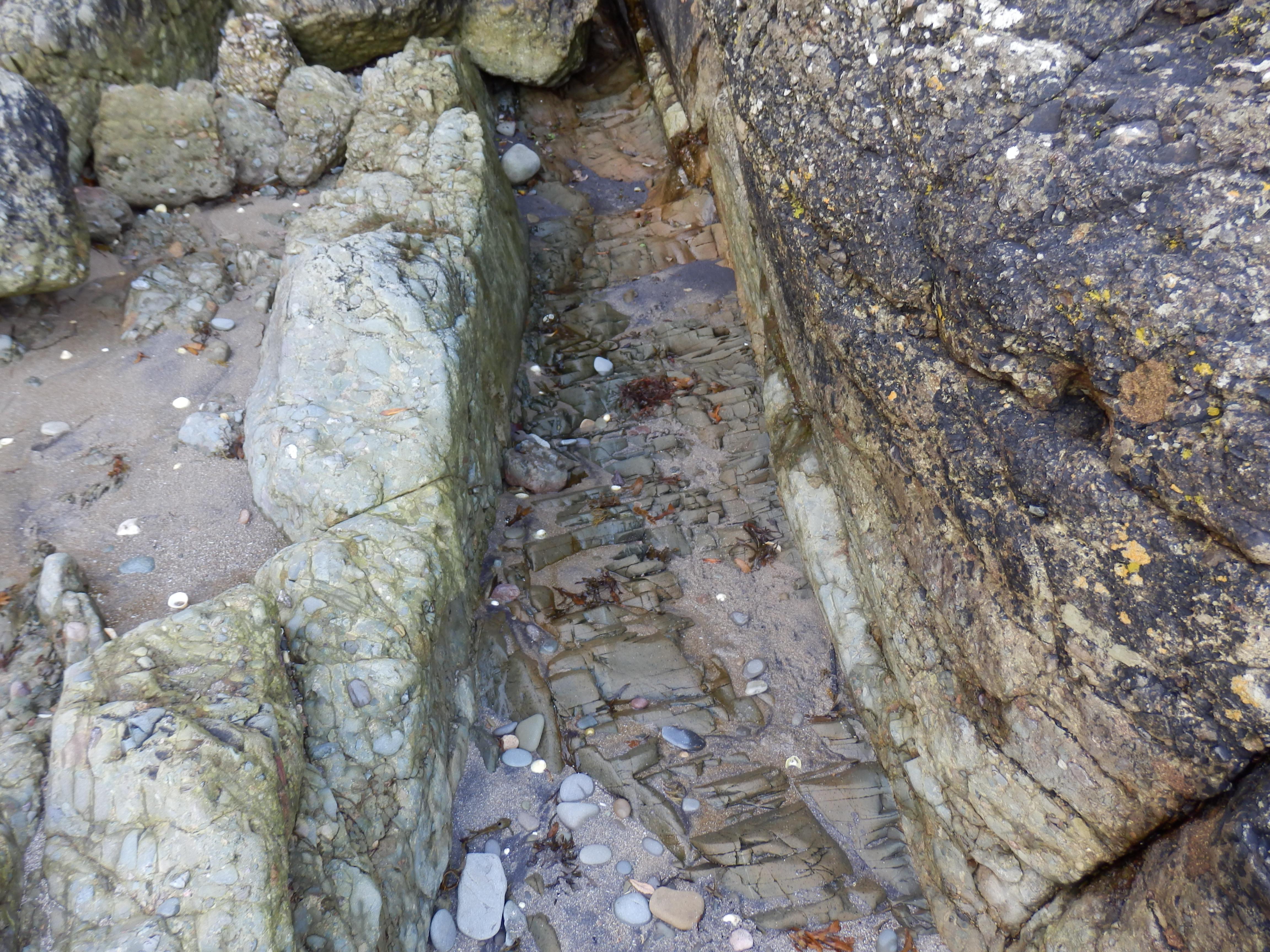
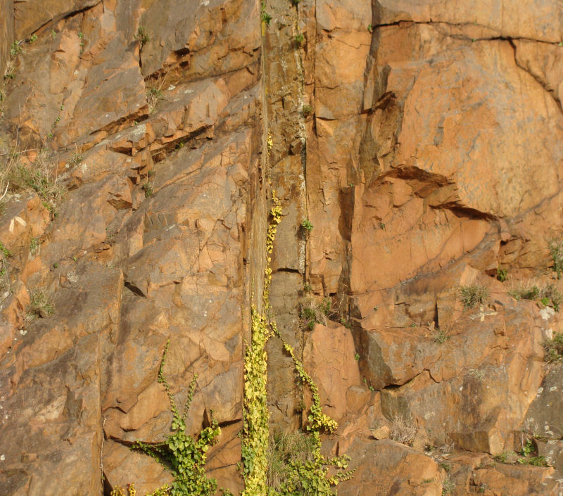
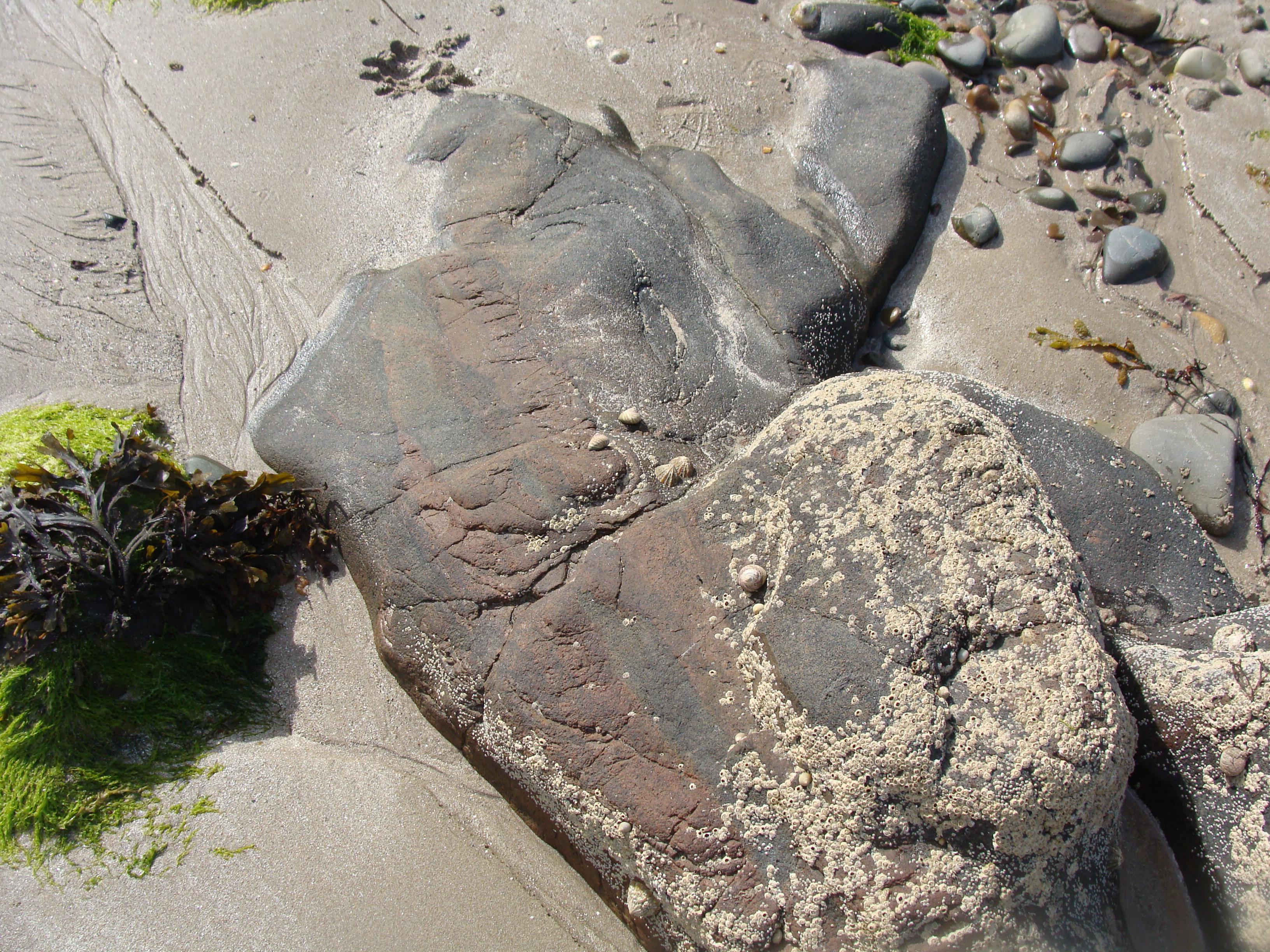
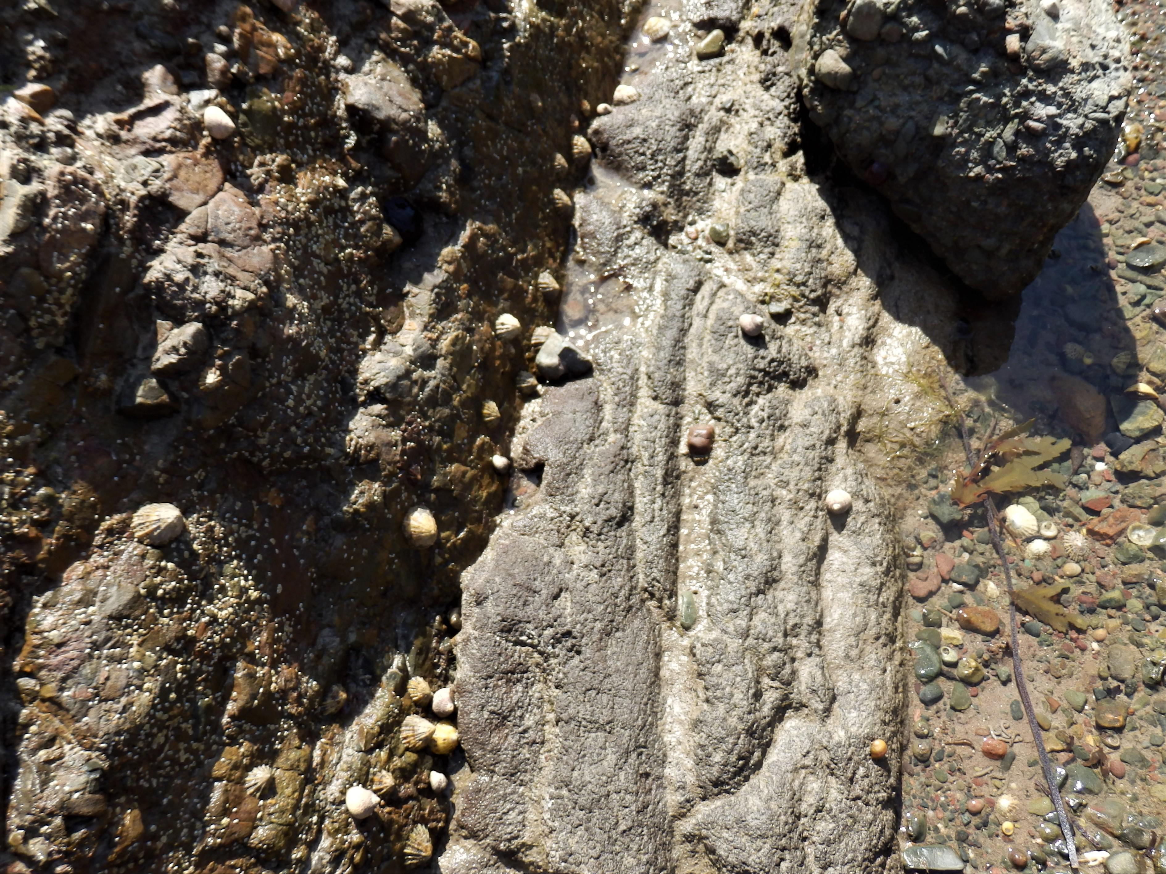
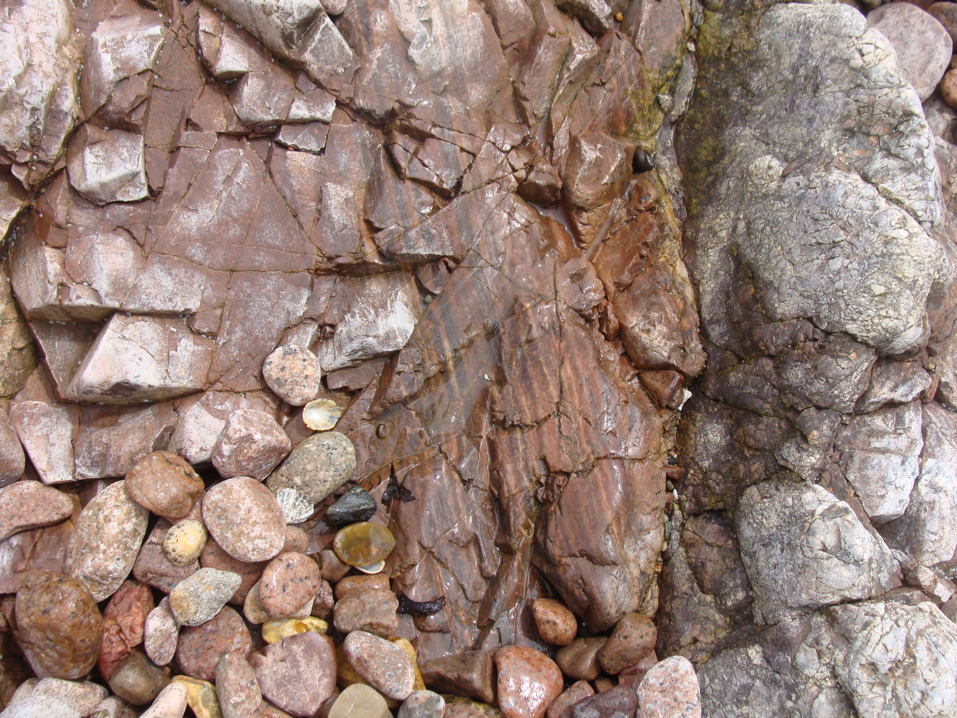
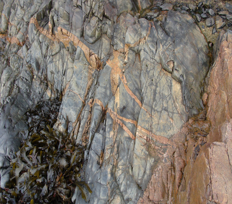
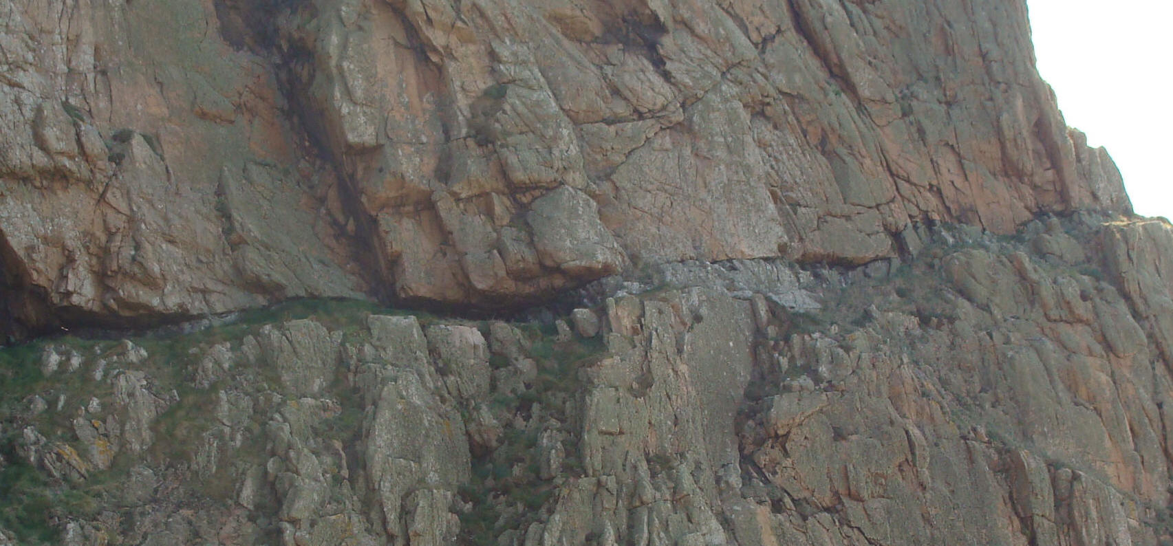
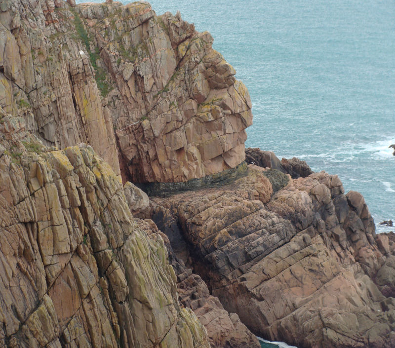
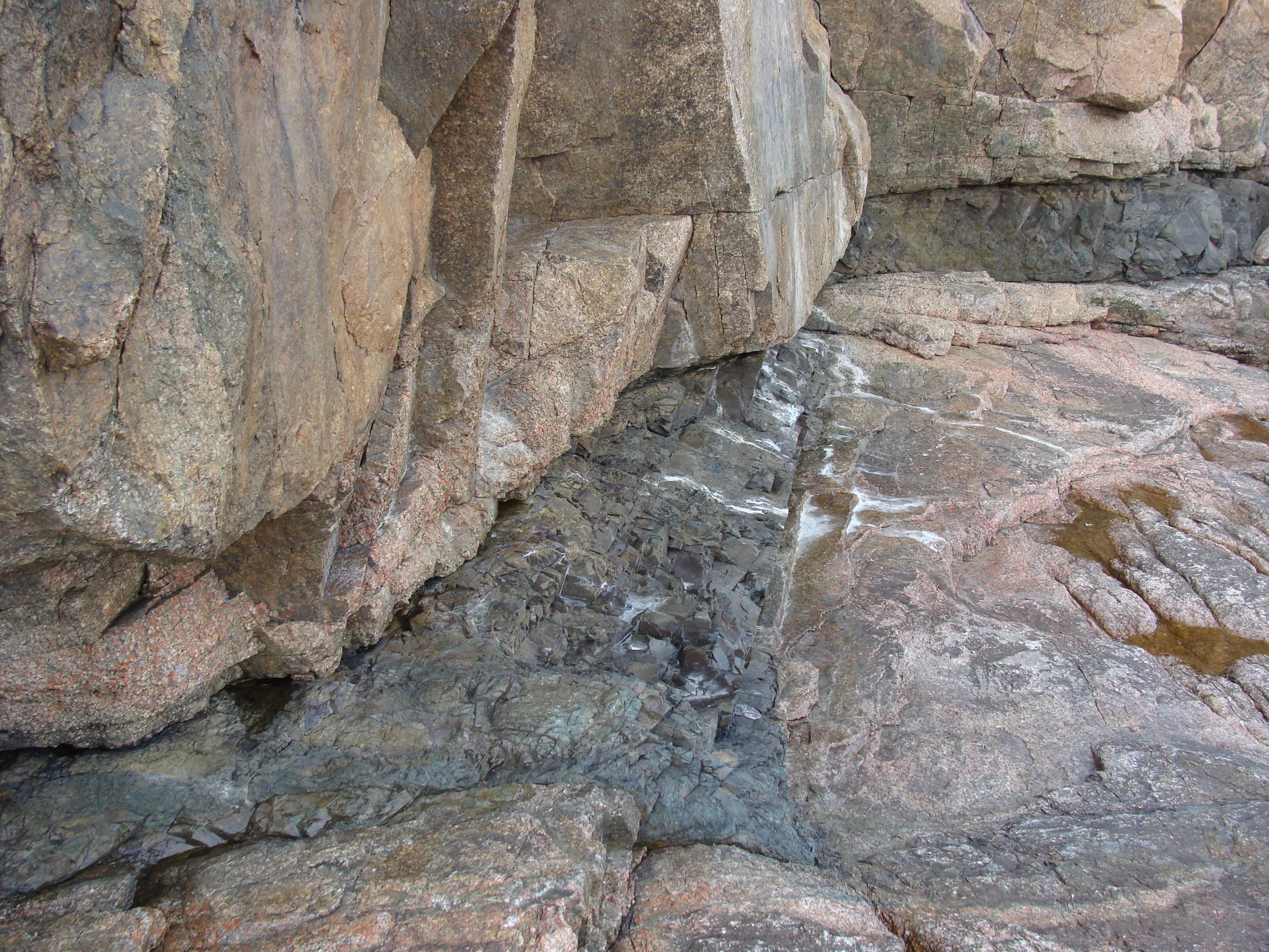
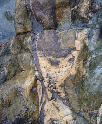
Sills are tabular versions of the above and have usually been intruded along bedding planes in sedimentary rocks and may transgress to other planes via joints. Jersey has none of these although some structures in the igneous rocks have been called sills (see below). Veins are very narrow, generally wall-like structures, vertical or inclined, in which minerals have crystallised, usually by growing out from the walls of the fracture in which they formed (Allaby & Allaby, 1990. pp. 173; 575). Jersey is an ideal place to study these structures. They occur throughout the island and can be seen wonderfully exposed along most of the easily accessible coastal sections. Those below are of dolerite and can be seen from a view point just south of La Chapelle des Pêcheurs, St. Brelade's Bay and in the beach rocks immediately east and to the south and north of the harbour jetty; of note is the difference in strikes. NB. The tide times must be noted and care must be taken if rock scrambling in the beach area. |
||
 |
 |
|
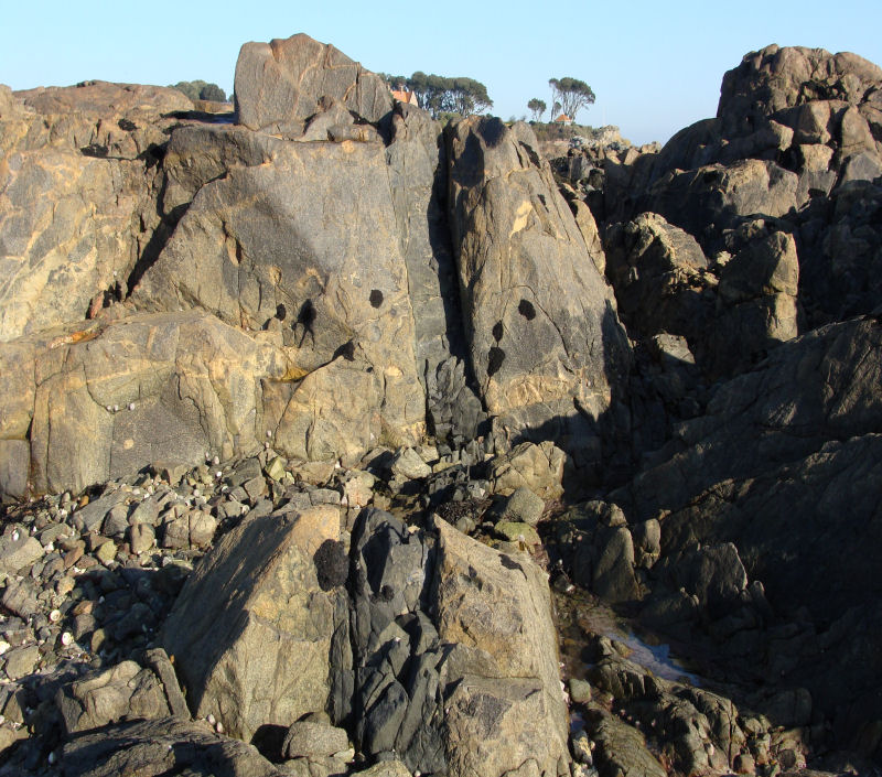
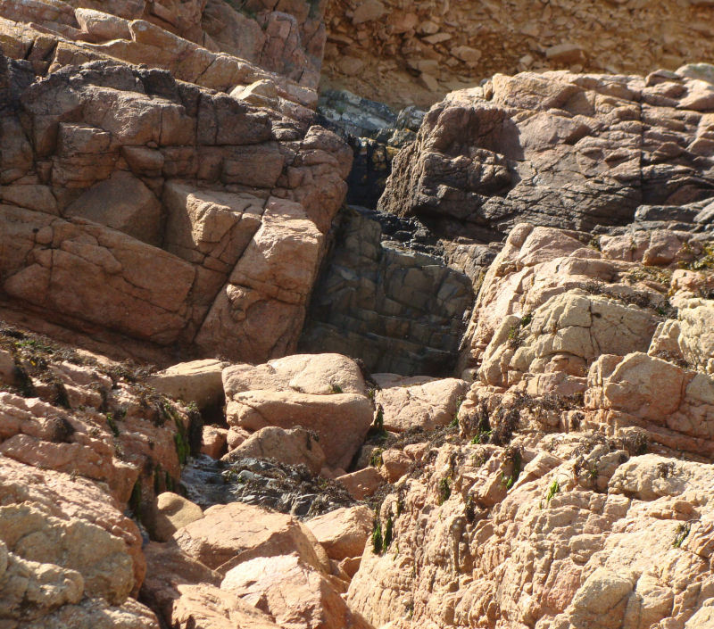
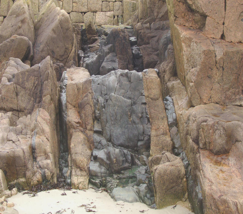
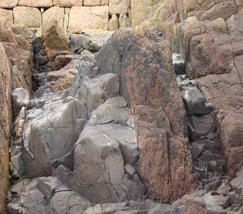
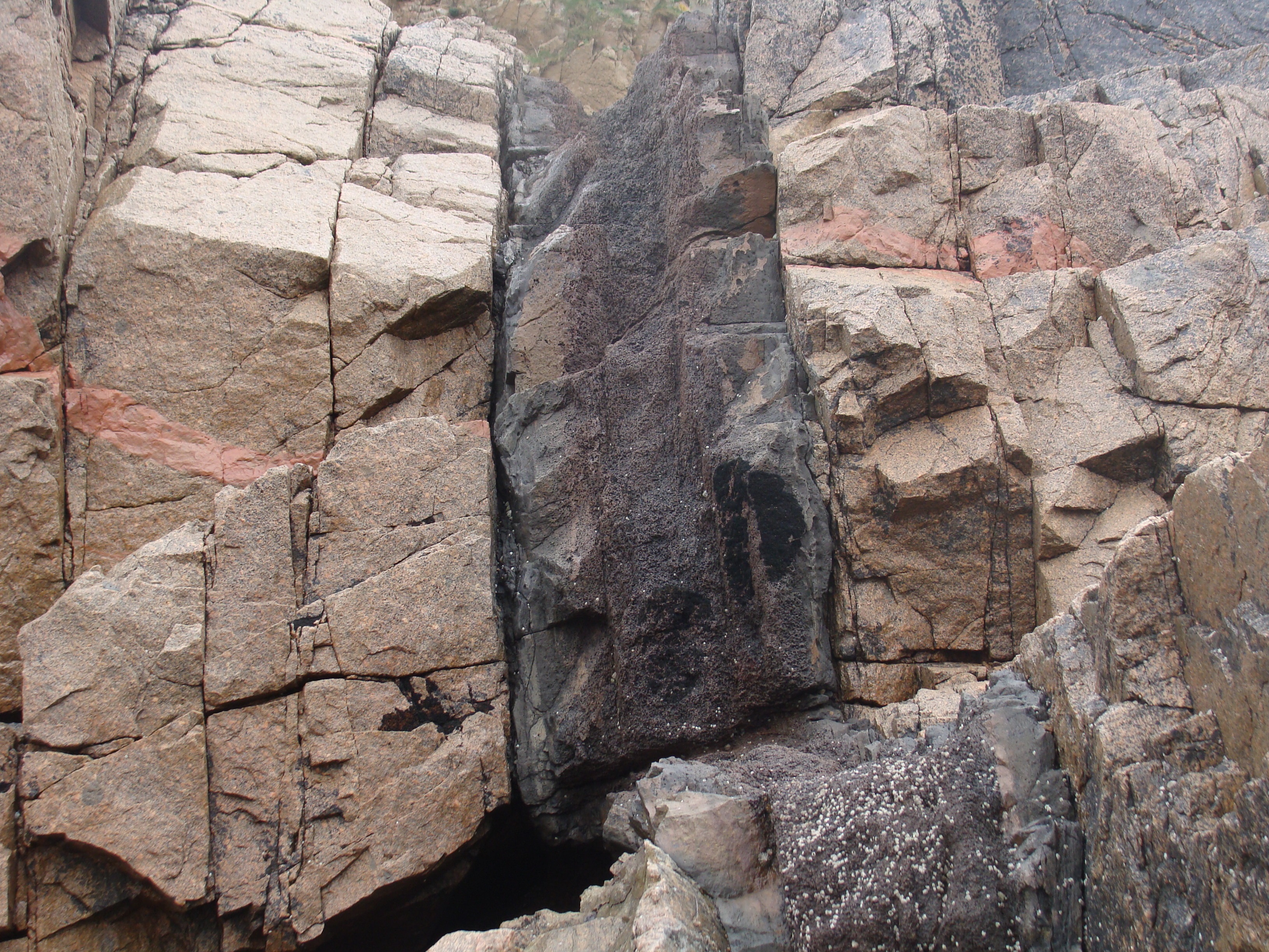
Upper & lower parts of E-W dyke in narrow gorge, Bouilly Port, St. Brelade's Bay. |
||
 |
 |
|
Same dyke, tear-faulted in the beach platform (E) and nearby NNW striking dyke. |
||
They consist of:
The dykes vary in strike from NE-SW to E-W along the east and south coasts with exceptions where rare dolerites strike N-S on parts of the north and south coasts, while the mica lamprophyres exhibit variations from NE-SW, N-S to NW-SE, the last in the cliffs of La Grève au Lanchon. Intersecting dykes occur, therefore giving their relative ages and some have curved strikes while others have been clearly sinistrally or dextrally tear-faulted. The majority clearly crop out parallel to major joint directions and the greater number have been described as forming the Jersey Main Dyke Swarm in an excellent study by Lees (1990, pp. 273 - 291) who also cites many other authors and their previous studies. An absolute date is uncertain but may be c. 500Ma, ... "possibly coeval with the younger components of the SE Jersey plutonic complex" (Lees, 1990, p. 273-4). Origins.Each rock type forming the dykes is described under its respective rock type in the main menu. Solving their origin has involved detailed chemical analysis of their composition, a discussion of which, presented by Lees (op.cit.), is briefly summarised, if that's possible from such an excellent and comprehensive study, as follows; Basic rocks (Dolerites). |
||
 |
 |
|
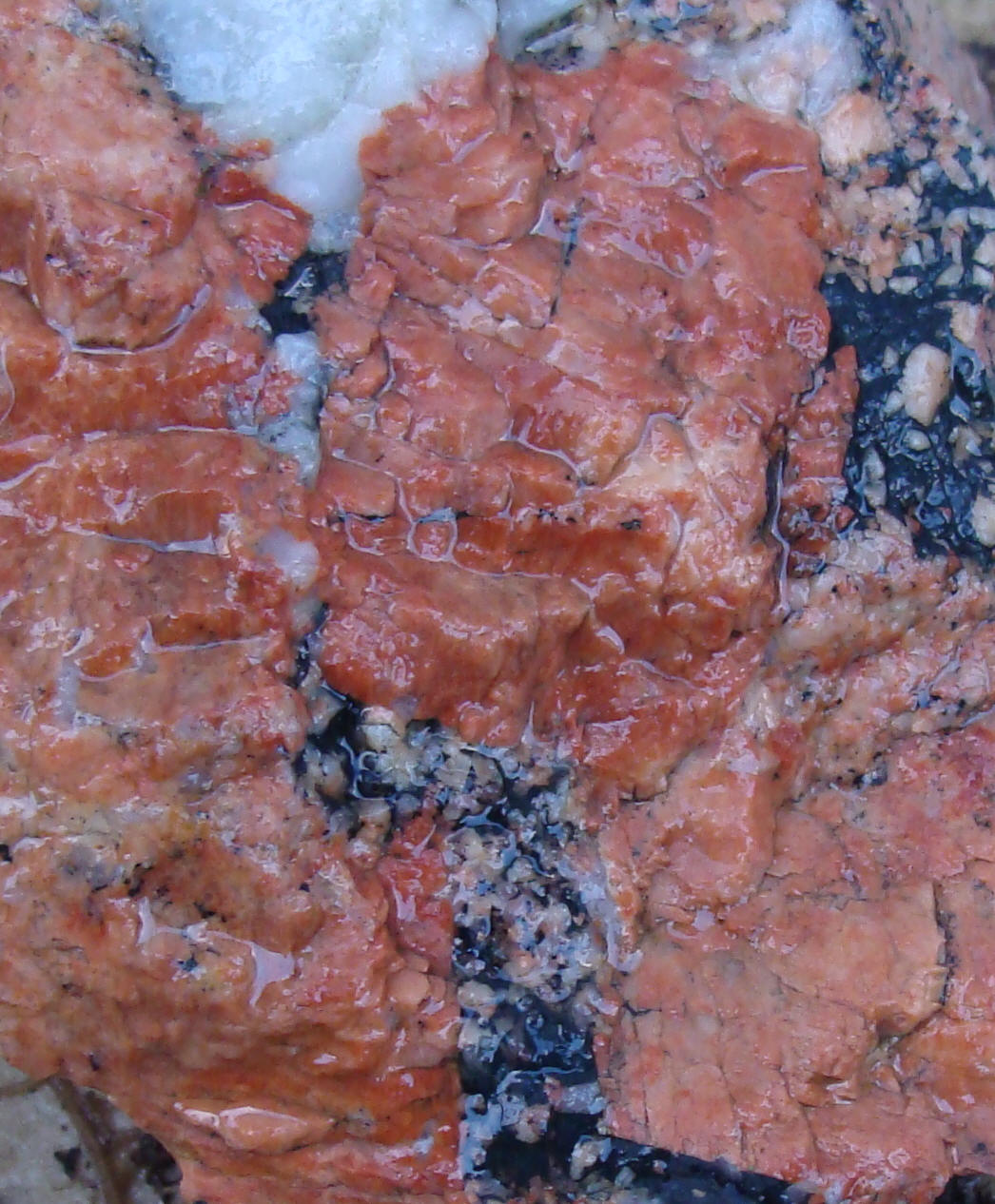
Dyke(s) at Le Dicq, along joints. |
Remnant granite lenses in dyke, Le Dicq. |
|
The variation in SiO2 content shows that there are basic rocks (dolerite) along with the intermediate (lamprophyres and appinites) and acid varieties (quartz-feldspar/composite dykes). These were analysed for the major and trace elements. The ratios of various compounds, eg. Na/K, FeO/MgO and plots for total alkalis(Na2O+K2O) v. SiO2 are illustrated and the high K2O results show their calc-alkaline nature while the low TiO2 content is "characteristic of subduction related basalts"...(p.282). The orthoclase (K rich), albite (Na rich), anorthite (Ca rich) CIPW* normative feldspar ternary diagram (p.283) for the dolerites, again shows their K-rich nature. {*CIPW. The letters denote a norm calculation developed in the late 1800s by four US petrologists, Cross, Iddings, Pirsson and Washington. It involves the combination of the oxide components of an igneous rock into a set of water free, standard mineral compounds, named the normative constituents, in a set order thought to be the mineral crystallisation order from most magmas. It thus permits a comparison based upon an ideal mineral assemblage determined by the original magma, and not one based on modal mineral assemblages because these can differ in rocks having similar chemistry, if they crystallise under contrasting total pressure (P total) and water pressure (P H2O) conditions (Allaby & Allaby, 1999, p. 103)} This K-rich nature is supported by the trace element analysis where a binary plot of Yttrium versus Zirconium indicates the same relationship. The geochemical results follow for the light and heavy rare earth elements (LREEs and HREEs respectively) relative to concentrations in mid-ocean ridge basalts (MORBs) - tholeiites. These are the most widespread of basalts, very low in K2O and TiO2 and various trace elements but high in CaO. When the concentration of each rare earth element (RRE) is divided by its mean concentration in chondrite meteorites (a standard for comparison), these basalts show a lowering of the ratios for the LREEs v. the ratios for the HREEs and are described as LREE-depleted and as such are thought to be characteristic of the sub-oceanic mantle (below MORBs) because they have not been contaminated by passing through crustal material (Allaby & Allaby, 1999, p. 348). The various alternative theories for their origin (and those of the intermediate and acid dykes) are presented in the Discussion section (Lees, 1990, p. 285 et seq.). The possible origins, based upon detailed chemical analyses are discussed and range from mantle differentiation and lower crustal melting to intra-crustal melting, to melting of sub-continental, lithospheric mantle. An active continental margin is favoured more than that of an island arc on continental crust, although volcanic rocks possibly related to subducted oceanic crust occur in the Trégor area (loc.cit. p. 285). This is supported by the above mentioned K-rich calc-alkaline nature of the Jersey dykes and spidergrams* show the influence of possible sub-continental mantle lithosphere. {* A spidergram is "a useful plot to show variations between two rocks or rock types for a wide range of elements" (Allaby & Allaby, 1999, p. 512). A standard rock type is used, for example, a mid-ocean ridge basalt or a meteorite (carbonaceous chondrite). Data from the test rock are normalised to those of the standard rock by dividing the abundance of each test rock element by the abundance of each in the standard rock type and plotting the quotient in order of atomic number. If the quantities of the test rock elements are the same as those of the standard rock elements, the quotient is 1. If the two compositions are equal, the plot will be a straight line through 1 on the y-axis. If the test rock has more elements than those of the standard then the numbers are >1 and vice versa. When a line is drawn between the points, it creates a spider-like graph (spidergram) which clearly illustrates the differences in composition between the test rock and the standard rock, for example, the relative enrichment in incompatible elements collected in the crust (test rock) by magmatic transfer from the mantle (represented by the standard rock).} |
||
 |
||
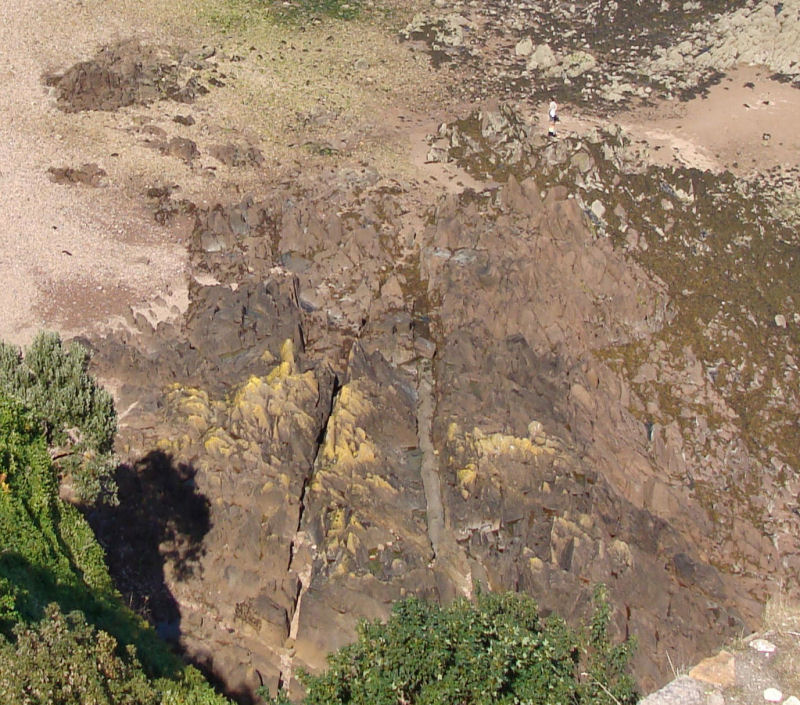
Le Saie Harbour. |
||
Dolerite dykes, intruded into the Rozel Conglomerate Formation, crop out along the north east coast between Le Saie Harbour slipway and La Coupe Point, striking NE - SW, one of which is in a shallow gully c. 60cm wide (above) leading under the Saie Harbour c. 8m raised beach at the foot of the cliff. One dolerite dyke also crops out on the south side of La Coupe Point, but strikes E-W. |
||
Intermediate rocks - Lamprophyres. |
||
 |
 |
 |
Tear-faulted lamprophyre between |
Mica lamprophyre dyke, South Hill. |
Mica lamprophyre dyke, La Grève au Lanchon. |
 |
 |
|
Bifurcating mica lamprophyre & porphyritic micro granite dykes below Gorey Castle. |
||
The study of the intermediate rocks, the lamprophyres and the appinites (Lees, 1990, p.277) has included the same parameters as those for the basic dolerites. For example, the variation in SiO2content is presented and clearly shows the basic-intermediate nature of these rocks amid the basic and acid groups which the author equates with the extrusive equivalents (loc.cit. p. 278). From analysis of the rare earth elements of the South Hill hornblende - mica lamprophyre it seems that it could have stemmed from low pressure (high crustal level) fractionation but because it is so mixed, this origin is thought too simple. Dolerite dykes and veins within the granophyre also crop out around South Hill alongside the road (below left) and can be seen as well within one of the tunnels opposite Victoria Pier (below right). |
||
 |
_Mt._Bing._tunn..jpg) |
|
In terms of origin, Lees (loc.cit. p. 287) states that the paucity of rocks of genuine intermediate composition in the dyke sequence is a problem for a derivation from a one parent magma. Analysis of the rare earth element (REE) profiles of these and the acid dyke rocks seem to show that they are not linked to high crust level fractionation of basalt and it is concluded that amphibole fractionation would be a more likely process - possibly producing the abundant hornblendes in the appinites. |
||
 |
 |
 |
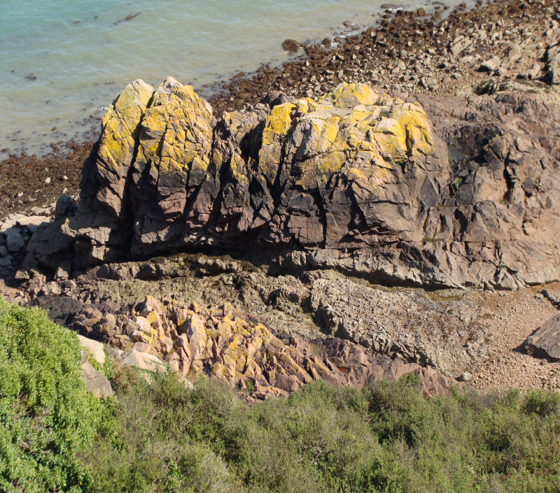
La Coupe Point. |
St. Catherine's Bay beach. |
|
Several mica lamprophyre dykes also occur on the south side of La Coupe Point on the northeast corner of the island. They have been intruded into the Rozel Conglomerate Formation and strike E - W. They are rich in biotite and vary from brown to yellow-brown in colour due to weathering along well defined contacts (above left & centre). A single dyke also crops out in the Rozel Conglomerate but strikes NW - SE south of St. Catherine’s Tower (above right). |
||
Acid rocks (Microgranites, composite dykes and quartz-feldspar porphyries, rhyolites and aplites). |
||
 |
 |
|
Flow-banded rhyolite, St. Aubin - Belcroute. |
Flow-banded rhyolite, Gorey. |
Composite felsite & porphyry, Le Pulec. |
Lees (loc.cit. p. 289) describes the modelling experiments of Blake & Campbell (1986) which show that a magma chamber with two magmas of differing viscosities (a viscous acid one above a low viscosity basic one) rising in volcanic conduits can be mixed (ie. produce hybrid magmas) if the flow is fast enough to produce turbulence. These dykes were subject to the same analyses as the dolerites and the lamprophyres/appinites and the results are included above. It is thought that the quartz-feldspar porphyries developed from "almost complete partial melting "of the surrounding granites. Lees (1990, p. 287 - 88) reviews the experimental work of other authors and suggests that as the country rock (granite) was still hot from its recent emplacement, the introduction of the basaltic magma would have resulted in melting it, followed by cooling and crystallisation. The porphyritic crystals (phenocrysts) would have then formed "in the source region during magma generation". Rare earth element profiles of a granite and granodiorite plutonic rocks in the Southeast Igneous Complex and an Ocean-Ridge-Granite normalised spidergram show that they are similar to those of the quartz-feldspar porphyries. It is thought that magmas of different composition (basic and acid) were present and thus were responsible for the composite intrusions rather than later metasomatism, and that this generation occurred at an active continental margin distant from the subduction zone (traces of which are not thought to exist near this area (the Armorican Massif). |
||
 |
 |
|
Aplite dykes in coarse granite and with coarser granitic core at Le Dicq. |
||
 |
 |
|
Aplite dykes in coarse granite and with coarser |
Aplite dykes, Le Côtil Point. |
|
In the Southeast Igneous Complex, aplites also form thin dykes (or thick veins!) and may also have a coarser granitic core, possibly indicating slower cooling in the central part rather than a second intrusive phase. Sills. |
||
 |
||
A low-angled dyke at Le Pinacle (above) on the northwest coast, in the NW granite, has been called a sill by some authors, but two others, possibly more convincing, crop out in part near the base of the cliffs just south west of Gros Nez Castle (below). |
||
 |
||
Four examples occur on the south coast, two on the western and southern sides of Portelet Bay (photographs below), and one each at the southern end of South Hill and at Le Havre des Pas. |
||
 |
 |
|
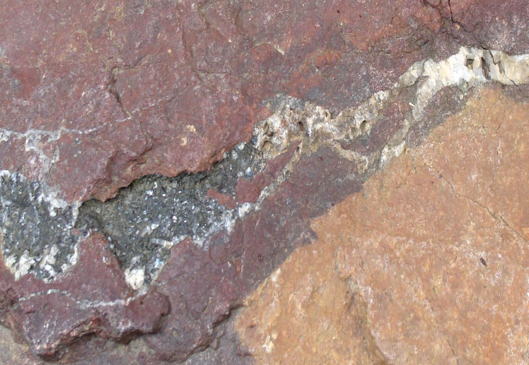
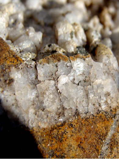
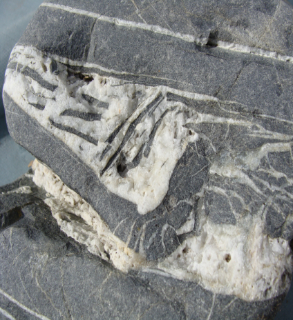
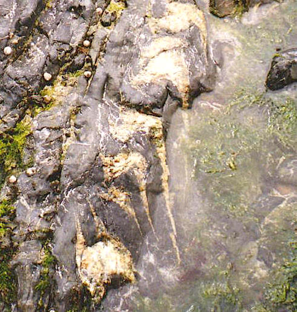
Veins. |
||
There are two ways in which veins can be formed, by open-space filling (crystals grow at 90° to the walls) or crack-seal growth (crystals quickly form variable or composite mosaics. (Wikipedia. Renard, Francois; Andréani, Muriel; Boullier, Anne-Marie; Labaume, Pierre. 2005. Geol. Soc. Spec. Publ, No. 243). |
||
 |
 |
|
Haematite & quartz, La Crête. |
Calcite & shales, Les Gellettes. |
|
 |
 |
|
Sphalerite in ankerite, Le Pulec. |
Barytes (A. Hill), Gorey. |
|
 |
 |
|
Quartz in shale, La Saline. |
Granite in diorite, west Sorel. |
|
 |
 |
|
Felsites in shale, Le Pulec. |
Dolerite in granite, Coleron. |
|
Some interesting ones also occur in the Jersey Shale Formation (photos below), west of La Saline slipway (St. Ouën's Bay), along with narrow, pink quartzo - feldspathic veins, a greater variety of which occurs in the hornfelses on the eastern side of Le Pulec cove. |
||
 |
 |
|
References. Allaby, A. and Allaby, M. 1990. A Dictionary of Earth Sciences. 2nd. Ed. Oxford University Press. Bishop, A. C. and Bisson, G. 1989. Classical areas of British geology: Jersey: description of 1:25,000 Channel Islands Sheet 2. (London: HMSO for British Geological Survey). Blake, S. & Campbell, I. H. 1986. The dynamics of magma - mixing during flow in volcanic conduits. Contributions to Mineralogy and Petrology. Vol. 94. pp. 72 - 81. D'Lemos. R. S., Strachan. R. A. and Topley. C. G. Eds. 1990. The Cadomian Orogeny. Geol. Soc. Spec. Publ. No. 51. The Geological Society, London. Lees. G. J. 1990. The geochemical character of late Cadomian extensional magmatism in Jersey, Channel Islands, p. 273 - 291 in The Cadomian Orogeny, Geol. Soc. Spec. Publ. No. 51. (see D'Lemos et al. above). Whitten, D. G. A. & Brooks, J. R. V. 1972. The Penguin Dictionary of Geology. Penguin Books. |
||